
Antiguo ojo del desierto topographic map
Interactive map
Click on the map to display elevation.
About this map
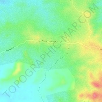
Name: Antiguo ojo del desierto topographic map, elevation, terrain.
Average elevation: 437 m
Minimum elevation: 404 m
Maximum elevation: 491 m
Other topographic maps
Click on a map to view its topography, its elevation and its terrain.
Desierto de la Tatacoa
Colombia > Huila > Villavieja
Desierto de la Tatacoa, Villavieja, Norte, Huila, RAP (Especial) Central, Colombia
Average elevation: 448 m