
Gughe topographic map
Interactive map
Click on the map to display elevation.
About this map
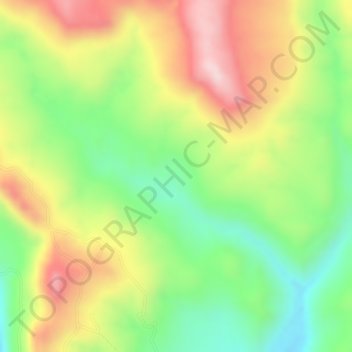
Name: Gughe topographic map, elevation, terrain.
Location: Gughe, አርባ ምንጭ / Arba Minch, Gamo Gofa, RNNPS, Éthiopie (6.19000 37.49000 6.21000 37.51000)
Average elevation: 2,701 m
Minimum elevation: 2,549 m
Maximum elevation: 2,859 m
Other topographic maps
Click on a map to view its topography, its elevation and its terrain.
Nechisar National Park Hq
Éthiopie > RNNPS > አርባ ምንጭ / Arba Minch
Nechisar National Park Hq, አርባ ምንጭ / Arba Minch, Gamo Gofa, RNNPS, 40, Éthiopie
Average elevation: 1,216 m
Tosa Sucha
Éthiopie > RNNPS > አርባ ምንጭ / Arba Minch
Tosa Sucha, አርባ ምንጭ / Arba Minch, Gamo Gofa, RNNPS, Éthiopie
Average elevation: 1,376 m