
Southern Indian Lake topographic map
Interactive map
Click on the map to display elevation.
About this map
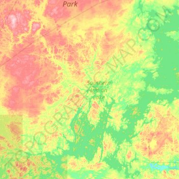
Name: Southern Indian Lake topographic map, elevation, terrain.
Location: Southern Indian Lake, Manitoba, Kanada (56.60612 -99.61765 57.69046 -98.13056)
Average elevation: 294 m
Minimum elevation: 247 m
Maximum elevation: 421 m
Other topographic maps
Click on a map to view its topography, its elevation and its terrain.
Fairford River
Fairford River, Provincial Trunk Highway 6, Fairford, Manitoba, R0C 0X0, Kanada
Average elevation: 249 m