
Sai Osru topographic map
Interactive map
Click on the map to display elevation.
About this map
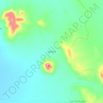
Name: Sai Osru topographic map, elevation, terrain.
Location: Sai Osru, Kutum, North Darfur State, Sudan (14.52857 24.27727 14.56857 24.31727)
Average elevation: 1,050 m
Minimum elevation: 1,002 m
Maximum elevation: 1,188 m
Other topographic maps
Click on a map to view its topography, its elevation and its terrain.