
Besal topographic map
Interactive map
Click on the map to display elevation.
About this map
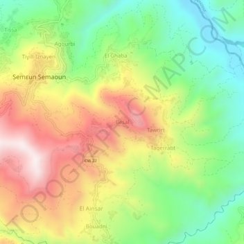
Name: Besal topographic map, elevation, terrain.
Location: Besal, Semaoun, Amizour District, Bejaia, 06020, Algeria (36.58102 4.81939 36.62102 4.85939)
Average elevation: 370 m
Minimum elevation: 75 m
Maximum elevation: 734 m