
Jauer topographic map
Interactive map
Click on the map to display elevation.
About this map
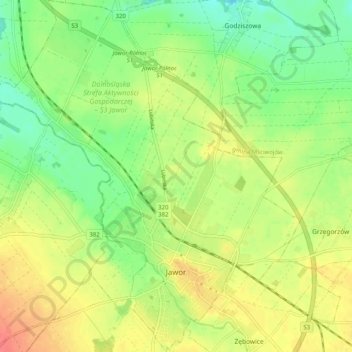
Name: Jauer topographic map, elevation, terrain.
Location: Jauer, powiat jaworski, Woiwodschaft Niederschlesien, Polen (51.03597 16.14112 51.09940 16.22907)
Average elevation: 193 m
Minimum elevation: 168 m
Maximum elevation: 220 m