
Bent's Old Fort National Historic Site topographic map
Interactive map
Click on the map to display elevation.
About this map
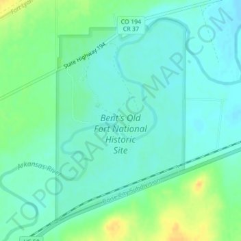
Name: Bent's Old Fort National Historic Site topographic map, elevation, terrain.
Average elevation: 1,224 m
Minimum elevation: 1,215 m
Maximum elevation: 1,243 m