
Pļaviņas topographic map
Interactive map
Click on the map to display elevation.
About this map
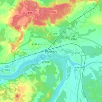
Name: Pļaviņas topographic map, elevation, terrain.
Location: Pļaviņas, Aizkraukles novads, Latvia (56.57940 25.70033 56.65940 25.78033)
Average elevation: 97 m
Minimum elevation: 69 m
Maximum elevation: 163 m
Other topographic maps
Click on a map to view its topography, its elevation and its terrain.