
Hansaviertel topographic map
Interactive map
Click on the map to display elevation.
About this map
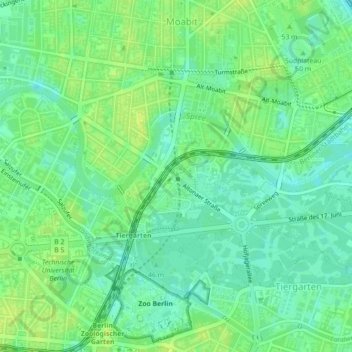
Name: Hansaviertel topographic map, elevation, terrain.
Location: Hansaviertel, Mitte, Berlín, Alemania (52.51378 13.33421 52.52268 13.35032)
Average elevation: 39 m
Minimum elevation: 31 m
Maximum elevation: 46 m
Other topographic maps
Click on a map to view its topography, its elevation and its terrain.
Friedrichshain-Kreuzberg
Friedrichshain-Kreuzberg, Berlín, Alemania
Average elevation: 45 m