
هورة topographic map
Interactive map
Click on the map to display elevation.
About this map
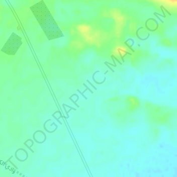
Name: هورة topographic map, elevation, terrain.
Location: هورة, العلا, Provincia de Medina, Arabia Saudita (26.86662 37.91662 26.86672 37.91672)
Average elevation: 789 m
Minimum elevation: 781 m
Maximum elevation: 806 m