
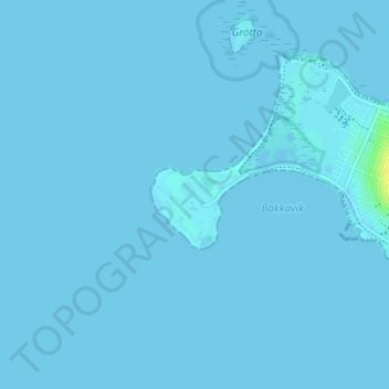
Suðurnes topographic map
Interactive map
Click on the map to display elevation.
About this map
Name: Suðurnes topographic map, elevation, terrain.
Location: Suðurnes, Seltjarnarnesbær, Höfuðborgarsvæðið, 170, Islande (64.14326 -22.03940 64.16326 -22.01940)
Average elevation: 0 m
Minimum elevation: -3 m
Maximum elevation: 17 m