Geolocate

Dharampur topographic map

Interactive map

Click on the map to display elevation.

About this map

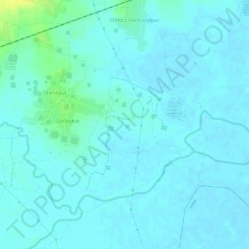
Name: Dharampur topographic map, elevation, terrain.

Location: Dharampur, Rajmahal, Sahibganj District, Jharkhand, India (24.99898 87.76448 25.00589 87.77353)

Average elevation: 28 m

Minimum elevation: 23 m

Maximum elevation: 46 m

Other topographic maps

Click on a map to view its topography, its elevation and its terrain.

Alampur

India > Jharkhand > Rajmahal

Alampur, Rajmahal, Sahibganj District, Jharkhand, India

Average elevation: 29 m

Dogachhi

India > Jharkhand > Rajmahal > Stridhas

Dogachhi, unsurveyed, Stridhas, Rajmahal, Sahibganj (district), Jharkhand, India

Average elevation: 24 m

Manikpur

India > Jharkhand > Rajmahal

Manikpur, Rajmahal, Sahibganj (district), Jharkhand, India

Average elevation: 32 m

Rajmahal

India > Jharkhand > Rajmahal

Rajmahal, Sahibganj, Jharkhand, 816108, India

Average elevation: 46 m