
嵯峨広沢御所ノ内町 topographic map
Interactive map
Click on the map to display elevation.
About this map
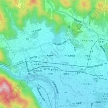
Name: 嵯峨広沢御所ノ内町 topographic map, elevation, terrain.
Location: 嵯峨広沢御所ノ内町, 右京区, 京都市, 京都府, 616-8371, 日本 (35.00153 135.66888 35.04153 135.70888)
Average elevation: 92 m
Minimum elevation: 24 m
Maximum elevation: 360 m