
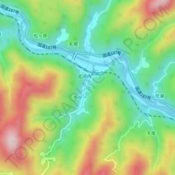
赤谷川 topographic map
Interactive map
Click on the map to display elevation.
About this map
Name: 赤谷川 topographic map, elevation, terrain.
Location: 赤谷川, 赤谷, 岩国市, 山口県, 日本 (34.16948 132.06333 34.17686 132.06663)
Average elevation: 159 m
Minimum elevation: 14 m
Maximum elevation: 378 m