
Tulqa topographic map
Interactive map
Click on the map to display elevation.
About this map
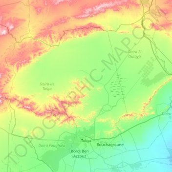
Name: Tulqa topographic map, elevation, terrain.
Location: Tulqa, Tolga District, Biskra, Algeria (34.67965 4.92519 35.09771 5.52892)
Average elevation: 271 m
Minimum elevation: 50 m
Maximum elevation: 791 m