
江の島 topographic map
Interactive map
Click on the map to display elevation.
About this map
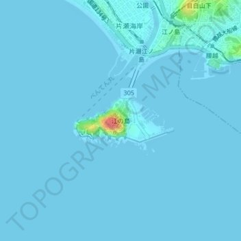
Name: 江の島 topographic map, elevation, terrain.
Location: 江の島, Fujisawa, Préfecture de Kanagawa, 251-0036, Japon (35.29721 139.47412 35.30297 139.48804)
Average elevation: 2 m
Minimum elevation: -6 m
Maximum elevation: 62 m
Other topographic maps
Click on a map to view its topography, its elevation and its terrain.