
Tanga topographic map
Interactive map
Click on the map to display elevation.
About this map
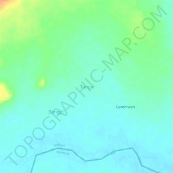
Name: Tanga topographic map, elevation, terrain.
Location: Tanga, Solhan, Yagha, Sahel, Burkina Faso (13.25648 0.40273 13.29648 0.44273)
Average elevation: 252 m
Minimum elevation: 242 m
Maximum elevation: 278 m