
Malham topographic map
Interactive map
Click on the map to display elevation.
About this map
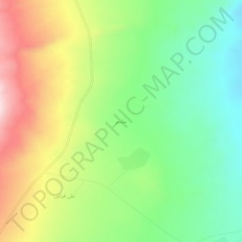
Name: Malham topographic map, elevation, terrain.
Average elevation: 1,277 m
Minimum elevation: 1,103 m
Maximum elevation: 1,532 m
Other topographic maps
Click on a map to view its topography, its elevation and its terrain.
Bazargan
Iran > West Azerbaijan Province > Maku County
Bazargan, بخش بازرگان, Maku County, West Azerbaijan Province, Iran
Average elevation: 1,507 m