
El Mahmal topographic map
Interactive map
Click on the map to display elevation.
About this map
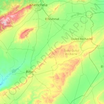
Name: El Mahmal topographic map, elevation, terrain.
Location: El Mahmal, Ouled Rechache District, Khenchela, 40012, Algeria (35.04055 7.18880 35.44848 7.41167)
Average elevation: 1,186 m
Minimum elevation: 849 m
Maximum elevation: 2,098 m