
Altusried topographic map
Interactive map
Click on the map to display elevation.
About this map
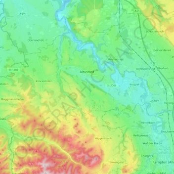
Name: Altusried topographic map, elevation, terrain.
Location: Altusried, Landkreis Oberallgäu, Bavaria, 87452, Germany (47.74341 10.06505 47.84053 10.29066)
Average elevation: 763 m
Minimum elevation: 617 m
Maximum elevation: 1,113 m
Other topographic maps
Click on a map to view its topography, its elevation and its terrain.