
Fuente Dé topographic map
Interactive map
Click on the map to display elevation.
About this map
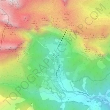
Name: Fuente Dé topographic map, elevation, terrain.
Location: Fuente Dé, Liébana, Cantabria, Cantabrie, 39588, Espagne (43.12403 -4.83148 43.16403 -4.79148)
Average elevation: 1,505 m
Minimum elevation: 853 m
Maximum elevation: 2,378 m