
Stockton topographic map
Interactive map
Click on the map to display elevation.
About this map
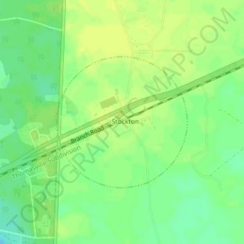
Name: Stockton topographic map, elevation, terrain.
Location: Stockton, Lanier County, Georgia, 31649, United States (30.92541 -83.01471 30.95518 -82.98940)
Average elevation: 55 m
Minimum elevation: 43 m
Maximum elevation: 61 m