
Ramsel topographic map
Interactive map
Click on the map to display elevation.
About this map
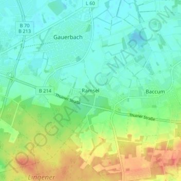
Name: Ramsel topographic map, elevation, terrain.
Location: Ramsel, Landkreis Emsland, Lower Saxony, 49811, Germany (52.49417 7.35775 52.53417 7.39775)
Average elevation: 39 m
Minimum elevation: 23 m
Maximum elevation: 72 m