Geolocate

Indian Creek topographic map

Click on the map to display elevation.

About this map

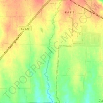
Name: Indian Creek topographic map, elevation, terrain.

Location: Indian Creek, Trenton, Fannin County, Texas, United States (33.37595 -96.35487 33.42950 -96.34443)

Average elevation: 217 m

Minimum elevation: 192 m

Maximum elevation: 238 m

Gear up for your next adventure:

🧴Sport Sunscreen Sticks - High-protection sunblock that won't run into your eyes on the trail
🧥Waterproof Hiking Jackets - Rain protection for walking in all weather conditions
Lightweight Solo Tents - Backpacking tents designed for wild camping in the UK highlands
🧼Camping Hygiene Kits - Compact hygiene essentials for outdoor stays
🧗Locking Carabiners - Secure gear to your pack or for light technical use

As an Amazon Associate, this site earns from qualifying purchases at no extra cost to you.