
Inyokern topographic map
Interactive map
Click on the map to display elevation.
Inyokern
Inyokern (formerly Siding 16 and Magnolia) is a census-designated place (CDP) in Kern County, California, United States. Its name derives from its location near the border between Inyo and Kern Counties. Inyokern is located 8 miles (13 km) west of Ridgecrest, at an elevation of 2,434 feet (742 m). It is on the western side of the Indian Wells Valley. The population was 988 in the 2020 census, down from 1,099 in the 2010 census. It was a railroad town established along the Southern Pacific railroad's Lone Pine Branch (now removed) and with WWII became site of the Naval Air Weapons Station China Lake.
About this map
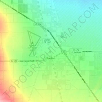
Name: Inyokern topographic map, elevation, terrain.
Location: Inyokern, Kern County, California, United States (35.62268 -117.87212 35.68164 -117.77582)
Average elevation: 753 m
Minimum elevation: 703 m
Maximum elevation: 848 m