
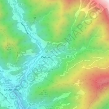
Segudet topographic map
Interactive map
Click on the map to display elevation.
About this map
Name: Segudet topographic map, elevation, terrain.
Location: Segudet, Ordino, AD300, Andorre (42.53706 1.51806 42.57706 1.55806)
Average elevation: 1,615 m
Minimum elevation: 1,187 m
Maximum elevation: 2,414 m