
المدينة topographic map
Interactive map
Click on the map to display elevation.
About this map
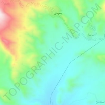
Name: المدينة topographic map, elevation, terrain.
Location: المدينة, Jabal Habashy District, تعز, Iêmen (13.41801 43.92518 13.45801 43.96518)
Average elevation: 1,184 m
Minimum elevation: 1,019 m
Maximum elevation: 1,596 m