
Mirissa topographic map
Interactive map
Click on the map to display elevation.
About this map
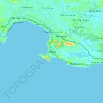
Name: Mirissa topographic map, elevation, terrain.
Location: Mirissa, Matara District, Southern Province, 81740, Sri Lanka (5.90936 80.41581 5.98936 80.49581)
Average elevation: 4 m
Minimum elevation: -1 m
Maximum elevation: 49 m