
Grand Mere State Park topographic map
Interactive map
Click on the map to display elevation.
About this map
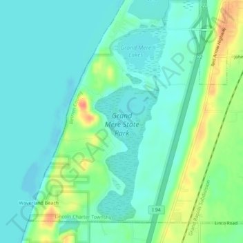
Name: Grand Mere State Park topographic map, elevation, terrain.
Average elevation: 185 m
Minimum elevation: 171 m
Maximum elevation: 220 m
Other topographic maps
Click on a map to view its topography, its elevation and its terrain.
Waverland Beach
Estados Unidos da América > Michigan > Waverland Beach
Waverland Beach, Berrien County, Michigan, 49106, Estados Unidos da América
Average elevation: 182 m