
Clows Top topographic map
Interactive map
Click on the map to display elevation.
About this map
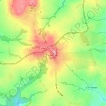
Name: Clows Top topographic map, elevation, terrain.
Average elevation: 176 m
Minimum elevation: 118 m
Maximum elevation: 232 m
Other topographic maps
Click on a map to view its topography, its elevation and its terrain.
Foley Park
United Kingdom > England > Worcestershire > Wyre Forest District > Foley Park
Average elevation: 55 m