Geolocate

Cooper City topographic map

Click on the map to display elevation.

About this map

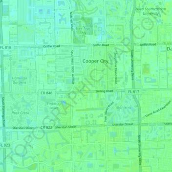
Name: Cooper City topographic map, elevation, terrain.

Location: Cooper City, Broward County, Florida, United States (26.02953 -80.32982 26.06480 -80.24908)

Average elevation: 6 m

Minimum elevation: 1 m

Maximum elevation: 10 m

Gear up for your next adventure:

🚶Walking Pedometers - Simple distance tracking for casual trail walkers
🦶Anti-Blister Balms - Protect your feet before long topographic expeditions
🌦️Portable Weather Meters - Handheld tools for monitoring weather conditions
🖼️Topographic Map Art - Decorative 3D-effect posters of famous UK peaks and regions
🧥Packable Down Jackets - Lightweight warmth that compresses small in your bag

As an Amazon Associate, this site earns from qualifying purchases at no extra cost to you.