
Pinos topographic map
Interactive map
Click on the map to display elevation.
About this map
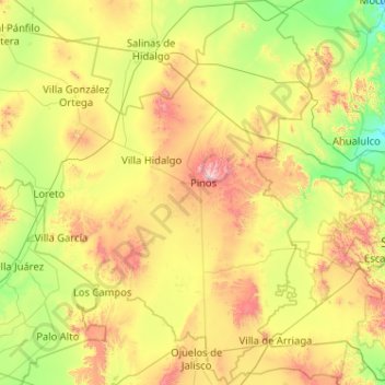
Name: Pinos topographic map, elevation, terrain.
Location: Pinos, Zacatecas, México (21.79906 -101.82266 22.74768 -101.28573)
Average elevation: 2,155 m
Minimum elevation: 1,781 m
Maximum elevation: 2,973 m