
Bennett topographic map
Interactive map
Click on the map to display elevation.
About this map
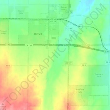
Name: Bennett topographic map, elevation, terrain.
Location: Bennett, Adams County, Colorado, 80102, USA (39.69468 -104.48012 39.76720 -104.37794)
Average elevation: 1,685 m
Minimum elevation: 1,642 m
Maximum elevation: 1,752 m