
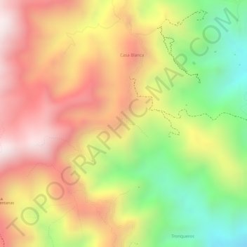
Cucuta topographic map
Interactive map
Click on the map to display elevation.
About this map
Name: Cucuta topographic map, elevation, terrain.
Location: Cucuta, Convención, Norte de Santander, Colombia (8.50577 -73.35486 8.52577 -73.33486)
Average elevation: 1,345 m
Minimum elevation: 972 m
Maximum elevation: 1,634 m