
wadi topographic map
Interactive map
Click on the map to display elevation.
About this map
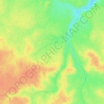
Name: wadi topographic map, elevation, terrain.
Location: wadi, Gouvernement Neues Tal, Ägypten (24.61347 25.27461 24.62066 25.28089)
Average elevation: 663 m
Minimum elevation: 632 m
Maximum elevation: 683 m
Other topographic maps
Click on a map to view its topography, its elevation and its terrain.
Toshka Lakes
Ägypten > Gouvernement Neues Tal
Toshka Lakes, Gouvernement Neues Tal, Ägypten
Average elevation: 154 m
Toshka
Ägypten > Gouvernement Neues Tal
Toshka, Gouvernement Neues Tal, Ägypten
Average elevation: 197 m
Al Izziyah
Ägypten > Gouvernement Neues Tal > Al Izziyah
Al Izziyah, Gouvernement Neues Tal, Ägypten
Average elevation: 68 m