
Gisa topographic map
Interactive map
Click on the map to display elevation.
About this map
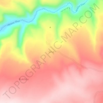
Name: Gisa topographic map, elevation, terrain.
Location: Gisa, Eastern Tigray, Tigray, Ethiopia (13.67081 39.47352 13.71081 39.51352)
Average elevation: 2,059 m
Minimum elevation: 1,844 m
Maximum elevation: 2,183 m