
Broaddus topographic map
Interactive map
Click on the map to display elevation.
About this map
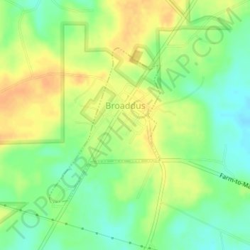
Name: Broaddus topographic map, elevation, terrain.
Location: Broaddus, San Augustine County, Texas, United States (31.29633 -94.27871 31.31304 -94.26461)
Average elevation: 73 m
Minimum elevation: 56 m
Maximum elevation: 88 m
Other topographic maps
Click on a map to view its topography, its elevation and its terrain.
San Augustine County
United States > Texas > San Augustine County
San Augustine County, Texas, United States
Average elevation: 81 m