
Covas topographic map
Interactive map
Click on the map to display elevation.
About this map
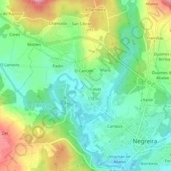
Name: Covas topographic map, elevation, terrain.
Location: Covas, Negreira, A Barcala, A Corogne, Galice, Espagne (42.91140 -8.76236 42.92799 -8.73605)
Average elevation: 191 m
Minimum elevation: 142 m
Maximum elevation: 278 m