
Bothel topographic map
Interactive map
Click on the map to display elevation.
About this map
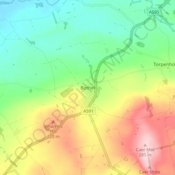
Name: Bothel topographic map, elevation, terrain.
Average elevation: 143 m
Minimum elevation: 50 m
Maximum elevation: 284 m
Other topographic maps
Click on a map to view its topography, its elevation and its terrain.
Rannerdale
Vereinigtes Königreich > England > Cumbria > Allerdale > Buttermere
Rannerdale, Buttermere, Allerdale, Cumbria, Nordwestengland, England, CA13 9FG, Vereinigtes Königreich
Average elevation: 237 m