
察隅河 topographic map
Interactive map
Click on the map to display elevation.
About this map
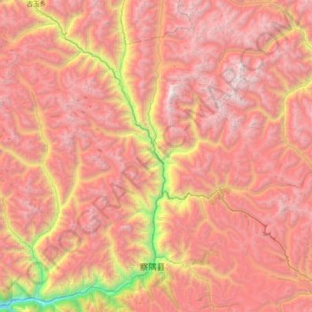
Name: 察隅河 topographic map, elevation, terrain.
Location: 察隅河, 察隅县, 林芝市, 西藏自治区, 中国 (28.57894 97.10157 29.15263 97.49390)
Average elevation: 4,251 m
Minimum elevation: 1,796 m
Maximum elevation: 5,952 m
Other topographic maps
Click on a map to view its topography, its elevation and its terrain.