
Machias topographic map
Click on the map to display elevation.
About this map
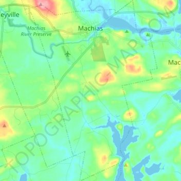
Name: Machias topographic map, elevation, terrain.
Location: Machias, Washington County, Maine, 04654, United States (44.64045 -67.50686 44.72920 -67.41543)
Average elevation: 24 m
Minimum elevation: -3 m
Maximum elevation: 103 m
Other topographic maps
Click on a map to view its topography, its elevation and its terrain.
Saint Croix Island International Historic Site
United States > Maine > Washington County > Calais
Average elevation: 6 m