Geolocate

Constantia Center topographic map

Click on the map to display elevation.

About this map

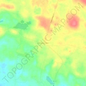
Name: Constantia Center topographic map, elevation, terrain.

Location: Constantia Center, Town of Constantia, Oswego County, New York, 13028, United States (43.26062 -75.94186 43.30062 -75.90186)

Average elevation: 169 m

Minimum elevation: 135 m

Maximum elevation: 205 m

Other topographic maps

Click on a map to view its topography, its elevation and its terrain.

Gear up for your next adventure:

📻Hand-Crank Emergency Radios - Stay updated on weather warnings in remote areas
Altimeter Watches - Watches measuring altitude for mountain activities
🧦Hiking Socks - Breathable socks designed to prevent blisters on long walks
🗺️Ordnance Survey Maps - Essential paper maps for hiking across the UK national parks
🥤Hiking Water Bottles - Reusable bottles for hydration on the trail

As an Amazon Associate, this site earns from qualifying purchases at no extra cost to you.