
Pakelle topographic map
Interactive map
Click on the map to display elevation.
About this map
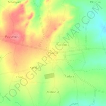
Name: Pakelle topographic map, elevation, terrain.
Location: Pakelle, Adjumani, Northern Region, 5827, Uganda (3.33685 31.83477 3.37685 31.87477)
Average elevation: 761 m
Minimum elevation: 716 m
Maximum elevation: 804 m