
Gowanda topographic map
Interactive map
Click on the map to display elevation.
About this map
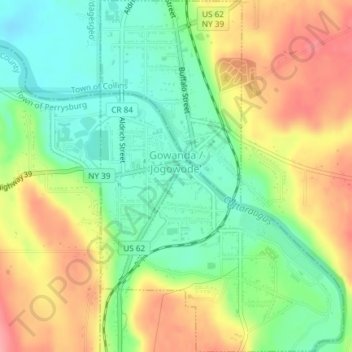
Name: Gowanda topographic map, elevation, terrain.
Location: Gowanda, Cattaraugus County, New York, 14070, United States (42.44841 -78.94397 42.47574 -78.91816)
Average elevation: 262 m
Minimum elevation: 218 m
Maximum elevation: 316 m