
Pilsrundāle topographic map
Interactive map
Click on the map to display elevation.
About this map
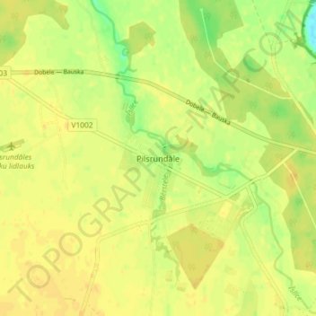
Name: Pilsrundāle topographic map, elevation, terrain.
Location: Pilsrundāle, Rundāles novads, Zemgale, LV-3921, Latvia (56.40049 23.98993 56.44049 24.02993)
Average elevation: 23 m
Minimum elevation: 7 m
Maximum elevation: 29 m