
Molela topographic map
Interactive map
Click on the map to display elevation.
About this map
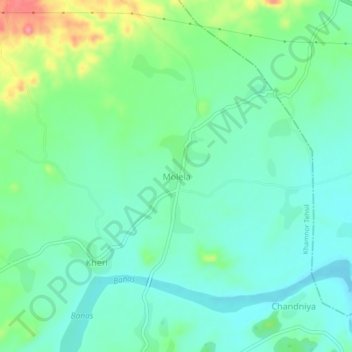
Name: Molela topographic map, elevation, terrain.
Location: Molela, Khamnor Tehsil, Rajsamand, Rajasthan, 313322, India (24.92194 73.70682 24.96194 73.74682)
Average elevation: 608 m
Minimum elevation: 582 m
Maximum elevation: 675 m