
Kirchhausen topographic map
Interactive map
Click on the map to display elevation.
About this map
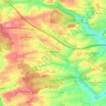
Name: Kirchhausen topographic map, elevation, terrain.
Location: Kirchhausen, Heilbronn, Baden-Württemberg, Deutschland (49.16873 9.04461 49.19887 9.13271)
Average elevation: 218 m
Minimum elevation: 168 m
Maximum elevation: 259 m