
Pie De Cuesta topographic map
Interactive map
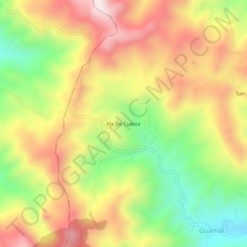
Click on the map to display elevation.
About this map
Name: Pie De Cuesta topographic map, elevation, terrain.
Average elevation: 1,488 m
Minimum elevation: 1,131 m
Maximum elevation: 1,830 m
Other topographic maps
Click on a map to view its topography, its elevation and its terrain.
PIEDECUESTA
Colombia > Norte de Santander > Pie De Cuesta
PIEDECUESTA, Pie De Cuesta, Convención, Norte de Santander, Colombia
Average elevation: 1,440 m