
Alibag topographic map
Click on the map to display elevation.
Alibag
Alibag is located about 120 km south of Mumbai, at 18°38′29″N 72°52′20″E / 18.64139°N 72.87222°E / 18.64139; 72.87222. The average elevation is 0 metres (0 feet).The District Government offices are located along the sea coast road. Alibag is the center place of Raigad District.
About this map
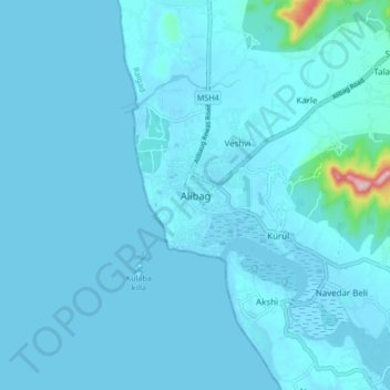
Name: Alibag topographic map, elevation, terrain.
Location: Alibag, Alibag Taluka, Raigad, Maharashtra, 402200, India (18.60984 72.83655 18.68984 72.91655)
Average elevation: 12 m
Minimum elevation: -2 m
Maximum elevation: 255 m