
Angacha topographic map
Interactive map
Click on the map to display elevation.
About this map
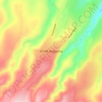
Name: Angacha topographic map, elevation, terrain.
Location: Angacha, Kembata Alaba Tembaro, Southern Nations, Ethiopia (7.32899 37.84270 7.36899 37.88270)
Average elevation: 2,248 m
Minimum elevation: 2,078 m
Maximum elevation: 2,374 m